Official websites use .gov
A .gov website belongs to an official government organization in the United States.

Secure .gov websites use HTTPS
A lock ( ) or https:// means you’ve safely connected to the .gov website. Share sensitive information only on official, secure websites.

Sea Level Affecting Marshes Model Maps

Rhode Island Sea Grant

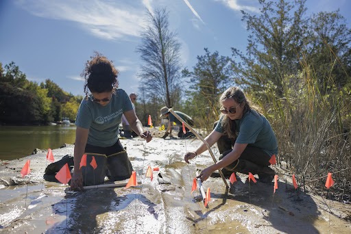
Sea Level Affecting Marshes Model maps (SLAMM), will be available on the web in October for all 21 coastal communities. This is being adopted for “planning purposes” by the State Coastal Resources Management Council. In addition to map, guidance on how to use these to prioritize and protect migrating corridors to allow wetlands to move upland with increased sea level rise. Outreach and training for all 21 coastal communities will be completed by the end of October.
Related Posts
Oysters in a pair of gloved hands
Announcements

NOAA Sea Grant Develops 5-Year Aquaculture Investment Plan

Year-over-year, Sea Grant is committed to supporting aquaculture development across the nation, as a means of enhancing economic resilience and nutritional security in American communities. Sea Grant recently developed a five-year Aquaculture Investment Plan to guide its efforts in supporting aquaculture research, extension and education.

Read More >
Connecticut

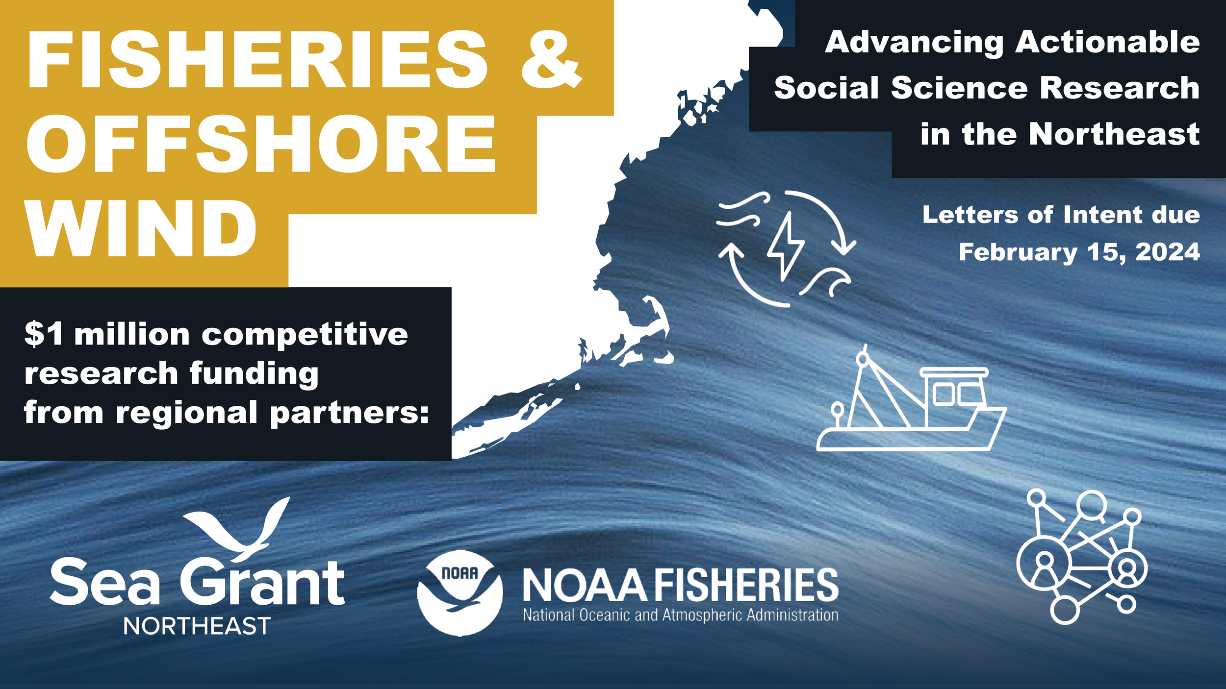
Sea Grant and NOAA Fisheries partner to invest $1 million to advance understanding of fishing community interactions with offshore wind development

The Northeast Sea Grant Consortium, in partnership with the National Oceanic and Atmospheric Administration (NOAA)’s Northeast Fisheries Science Center, announces a research funding opportunity to improve understanding of fishing community interactions with offshore wind development in the Northeast U.S.

Read More >
Scroll to Top