Connecticut Sea Grant
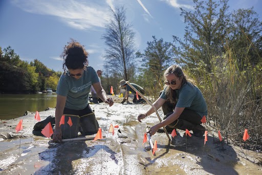
Connecticut Sea Grant and CLEAR partnered to conduct a GIS analysis of riparian buffers for Connecticut and to develop an outreach program on riparian areas. The GIS analysis examines land cover change between 1985 and 2006 for areas with 100 ft and 300 ft of waterways and shorelines. Based on the results of this analysis, a riparian buffer workshop was developed with a goal toward towns adopting riparian buffer guidelines and recommendations as changes to town practices and regulations. Riparian areas are of critical importance for climate resilience in terms of river and stream flooding and in species resilience with rising water temperatures.