
From Math to Mapping: Characterizing the U.S. Caribbean
By Katharine Egan
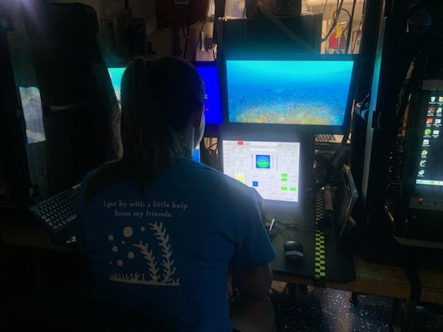
A few weeks ago, I was sitting in the wet lab on the NOAA Ship Nancy Foster watching a video feed from the remotely operated vehicle (ROV) that I helped to deploy. The pilot guided the ROV into shallower waters, and I was quick to identify the corals as these depths. I thought about what I was doing this time last year: sitting in front of my laptop using math to find coral reefs just like these for my Master’s thesis research. More specifically, I was using spatial predictive modeling to produce maps showing the potential location of star corals, which can help researchers identify where important reef habitat is located. This year, I didn’t have to predict where the star corals were located, instead I was identifying them as they came across the video feed from the ROV.
From Math to Mapping: Characterizing the U.S. Caribbean Read More>