An interactive map of best practices in 34 jurisdictions from Maine to Virginia
by Peg Van Patten, Connecticut Sea Grant
Coastal communities are struggling to become less vulnerable and more resilient in their efforts to adapt to climate change. Along the North Atlantic seaboard, this means more than getting warmer; it involves anticipating the variety of impacts from increasingly powerful storms and rising seas. Such impacts can include flooding, structural damage, erosion, marsh loss, and saltwater intrusion into groundwater. Some communities have yet to recover and rebuild from the devastating damages and dislocations caused by Hurricane Irene and Superstorm Sandy.
A new report from Sea Grant and the NOAA North Atlantic Regional Team (NART) identifies best practices that communities are using locally for adapting to climate change. “Cost-Efficient Climate Change Adaptation in the North Atlantic” is a compilation of best practices in 34 jurisdictions from Maine to Virginia, with ranges of associated costs. The report can be found with an interactive map.
By clicking a pin on the report’s map, users can access a summary report for that location, or search by practice, such as administrative, financial, legal, education, pilot study, planning, or other measures.
With so much inherent geophysical, cultural, socioeconomic and political variation, there is no one-size-fits-all magic solution for communities. But at the same time, there is no reason to reinvent the wheel in every community. The good news is, many cities and towns are taking action and willing to share their strategies with others facing similar issues.
Poquoson, Virginia, for example, prepared a Hazard Mitigation Plan that includes sea level rise impacts, recognizing that their biggest problem is tidal flooding, and incorporated it by reference into its comprehensive plan. The city requires that any new roads must be elevated 4.5 feet. The city also has constructed all of its new pump stations above the 100 year flood plain and requires the entire city to be built to stricter hurricane wind standards. Buildings must be constructed to withstand winds of 110 miles per hour with 3-second gusts.
In Greenwich, Connecticut improving maps using GIS projections for flood inundation scenarios is a cost-effective way to identify homes that would be most impacted under various storm inundation flood conditions. The enhanced maps proved invaluable to emergency firefighters responding to a fire outbreak in the midst of Storm Sandy, while wading in two feet of water.
Hull, Massachusetts developed an incentive program that offers a $500 credit toward building permit fees for homeowners that construct their dwellings two feet above the highest state flood zone minimum height elevation requirement. The town also recently passed new zoning by laws that explicitly respond to sea level rise and protect barrier beaches and dunes in providing storm and flood protection.
New York City, a city of about 8 million people living in five boroughs, is looking at a variety of best practices for its PlaNYC. One voluntary measure, for example, allows mechanical equipment such as boilers to be placed on rooftops rather than in basements. Some strategies are neighborhood-specific. The New York Housing Authority met with hundreds of residents of six housing projects in the Rockaways, a low-income community on a barrier island in Queens, to talk about their vulnerability to flooding and storms and possible mitigation actions. This area, along with the borough of Staten Island are where the majority of New York’s 43 fatalities which resulted from the October 2012 Superstorm Sandy occurred.
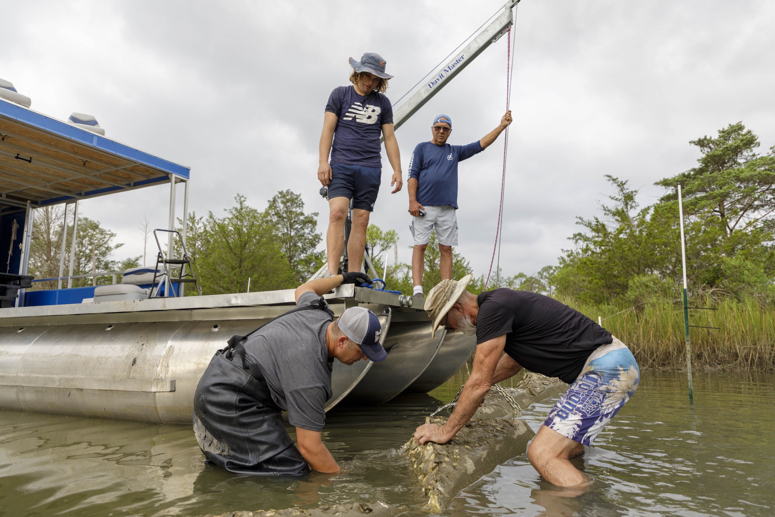
The report includes a compendium of studies, laws, policies, outreach tools, and infrastructure elements that have been implemented voluntarily. Of course, actions taken depend not only on needs but are constrained by existing budgets in addition to other limitations. Climate change adaptation measures can often be incorporated into pre-existing hazard response plans or can be integrated into ones that are being developed. Town and city staff, citizen volunteers, NGOs and partnerships with state and federal agencies such as NOAA can all be part of the process.