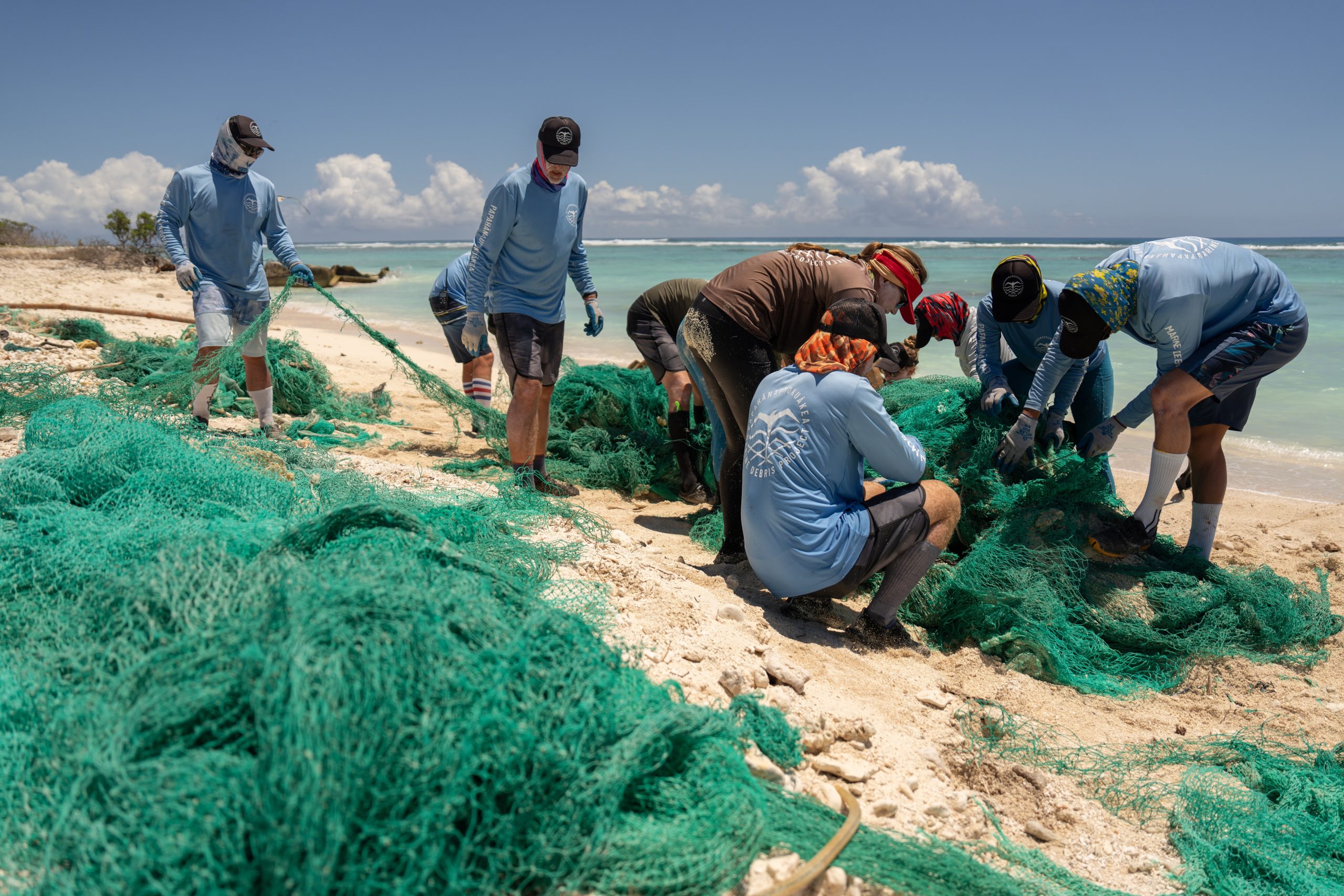
Preparing Hawai’i for coastal storms
By Cindy Knapman and Dolan Eversole, Hawai’i Sea Grant
In the last ten years, the Gulf region and Eastern seaboard of the U.S. have experienced repeated severe impacts from hurricane inundation including Hurricane Katrina and Rita in 2005, Hurricane Ike in 2008, and Hurricane Sandy in 2012. Much of the devastation was caused by storm surge which exceeded 17 feet in parts of Texas during Ike, and over 27 feet in Mississippi during Katrina. While Hawai‘i did not experience any of the impacts from these hurricanes, and with a record-breaking hurricane season in the Pacific this year, questions arose, what impact would a local hurricane and the resulting storm surge have on Honolulu’s coastline? How vulnerable is Honolulu’s critical infrastructure to hurricane or tsunami inundation, especially in areas already experiencing sea-level rise? Since recent global projections anticipate a rise in sea level of one meter or higher by the end of the century, these questions are of critical importance. The University of Hawai’i Sea Grant College Program (Hawai’i Sea Grant) is attempting to address some of these questions through a new sea-level rise vulnerability study.
In response to these questions, the NOAA Coastal Storms Program in the Pacific Islands Region, hosted and coordinated by Hawai’i Sea Grant, funded a University of Hawai‘i hazard study to assess the risk and vulnerability of urban Honolulu to coastal inundation. The urban Honolulu study area includes high density development, a large population, major critical infrastructure, and, since it is at low elevation, it is at higher risk than other surrounding areas. Importantly, the area is also responsible for generating over $43 billion in economic activity annually and is a major tourism hub for the state.
The questions surrounding climate change and sea-level rise adaptation have brought considerable attention to local and regional hazard mitigation plans. While the study was not a hazard mitigation plan per se, it instead generated the data that will be used in local hazard planning efforts, and the results of the project are helping to inform successful adaptation and hazard mitigation planning. This is especially relevant as Hawai‘i develops comprehensive climate change and sea-level rise adaptation strategies. Hawai’i Sea Grant provided project support, management and coordination. The results are currently being distributed locally to key stakeholders by Hawai’i Sea Grant through a series of project workshops and meetings.
In an effort to most effectively communicate the results, an online mapping tool was developed by Hawai’i Sea Grant to serve as a decision-support tool for local planners and decision-makers. This online resource is available through the Pacific Islands Ocean Observing System website. In addition, the National Oceanic and Atmospheric Administration produced a nation-wide sea-level rise inundation mapping tool for Hawai‘i and the Pacific which is also available online.
The Honolulu project study illustrates the effect of three feet of sea-level rise on the coastal inundation zones (hurricane and tsunami) and showed that 80 percent of the area’s economy, nearly half of the population, and much of the infrastructure and land are at risk of coastal inundation. It is clear that there is a need to develop long-term, risk-based strategies for hazard mitigation, as well as adaptation of systems to reduce the potential for harm. Hawai’i Sea Grant developed focused and targeted project outreach products and strategies for local emergency and resource managers, decision-makers, and affected communities. Hawai’i Sea Grant is hopeful this project serves as a roadmap for assessing the impacts of sea-level rise and coastal hazards in other parts of the state and the Pacific Islands region.