An important part of coastal resilience is understanding the dynamics of the shoreline, particularly, “How has the shoreline changed?” With funding from NOAA and National Sea Grant, a team from Connecticut Sea Grant, UConn CLEAR, UConn Extension and Connecticut Department of Energy and Environmental Protection took on an ambitious project designed to understand and quantify shoreline change in Connecticut over the last 100 years. Using maps dating from the 1880s, more recent GIS datasets, and a USGS software program, shoreline features were analyzed along the entire Connecticut shoreline using geologic and political boundaries. Results identify areas of change (both eroding and accreting), by quantifying not only how much the shoreline has moved, but also the rate of change. A summary of overall trends for Connecticut is also provided. For select sites, a shoreline change viewer allows one to watch the chronological shoreline change from the 1880's to 2006.
Alabama
Biden-Harris administration invests $27 million to support community-driven marine debris solutions through Investing in America agenda
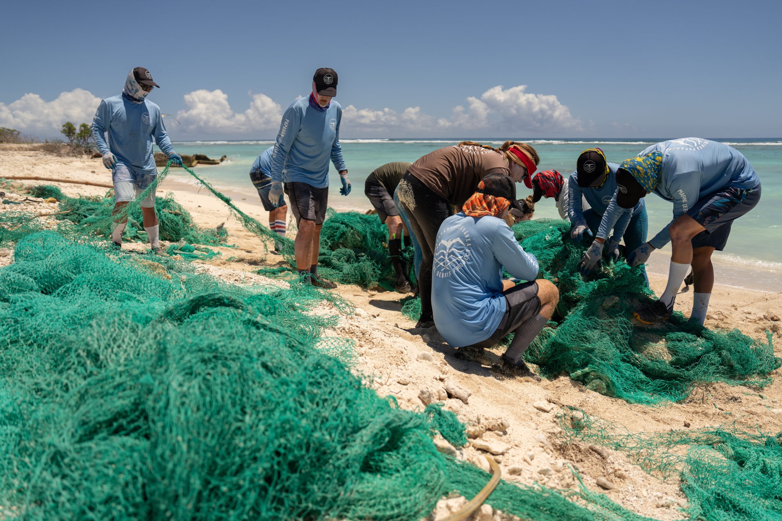
Today, the Department of Commerce and NOAA announced $27 million in funding for projects to prevent and remove marine debris in coastal and Great Lakes communities as part of President Biden’s Investing in America agenda, under the Bipartisan Infrastructure Law.
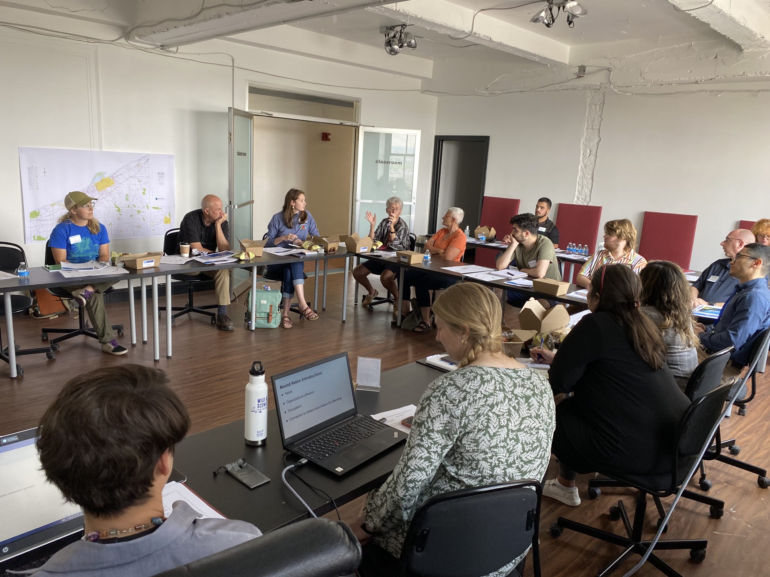
This funding will support innovative research and foster local coalitions to address urgent marine debris issues by using NOAA Sea Grant’s partnered approach to bring science together with communities for solutions that work.