By: Christine Burns,
Knauss Fellow,
Office of Coast Survey Precision Navigation Fellow
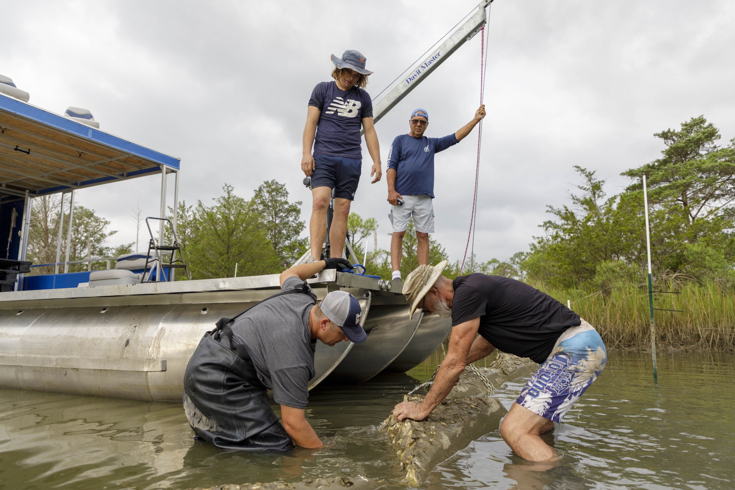
For the past five years, my typical field day was spent waist deep in marsh mud wielding the tools I needed for success: sunscreen, bug spray (lots of it), and a GPS. My work day as an environmental scientist and salt marsh ecologist is a very different world from the one I recently jumped into as a Knauss Fellow in NOAA’s Office of Coast Survey, the nation’s nautical chart makers.
The Knauss Fellowship brings scientists and other professionals into the marine policy realm. A few months ago, I moved from Savannah, Georgia to Silver Spring, Maryland and traded my mud-caked marine scientist field clothes for a neatly pressed blazer. This shift in worlds provides me with a whole new perspective on what NOAA does. Since coming to Silver Spring, I have quickly learned that the navigation services provided by NOAA through my office and others are critical to our nation’s economy.
As a graduate student living in Savannah, the fourth busiest port in the nation for containerized cargo, I often stopped along the riverfront to watch ships coming into port. These ships are like moving skyscrapers towering over the city of Savannah, and I always enjoyed watching them trudge up and down the river from the city waterfront. Other than watching the ships go by, I never thought much about the complexity and challenges of marine commerce.
As a Fellow in the Office of Coast Survey, I am now immersed in the world of maritime commerce. Coast Survey was created in 1807 by Thomas Jefferson to help our young nation with safe shipping, national defense, and maritime boundaries. In 1970, the U.S. Coast and Geodetic Survey (now Coast Survey), the Weather Bureau, and the U.S. Commission of Fish and Fisheries were brought together with the establishment of NOAA. At Coast Survey, we along with many of the offices in NOAA provide critical information to mariners as they navigate U.S. waters.
One of the projects that I am a part of is working to facilitate safer and more efficient marine navigation in U.S. ports, by integrating all of NOAA’s maritime data into one location. This requires collaborations across the many offices in NOAA. After three and a half months working in Silver Spring, this project took me back to Savannah to not only watch the ships go by, but also go behind the scenes. While on this trip, our team met with the Georgia Port Authority and the pilot companies who specialize in navigating these large ships into port of Savannah. We discussed the difficulties that mariners face when navigating increasingly larger ships into the port of Savannah and how NOAA may be able to improve our navigation services to facilitate safer and more efficient navigation.
Even in just the few months that I have been here, this fellowship has really broadened my horizons. I did not understand the navigation challenges of shipping or NOAA’s role in addressing those. Working at the Office of Coast Survey has given me the opportunity to step onto the bridge of one of these ships (figuratively) and see maritime commerce through their perspective. I am looking forward to continuing to expand my understanding through visits to other NOAA stakeholders in different ports.


