According to an overwhelming body of science, the Earth is warming at significant rates resulting in a myriad of climatic changes. According to the Intergovernmental Panel on Climate Change (IPCC) 5th Assessment Report:
Warming of the climate system is unequivocal, and since the 1950s, many of the observed changes are unprecedented over decades to millennia. The atmosphere and ocean have warmed, the amounts of snow and ice have diminished, sea level has risen, and the concentrations of greenhouse gases have increased.
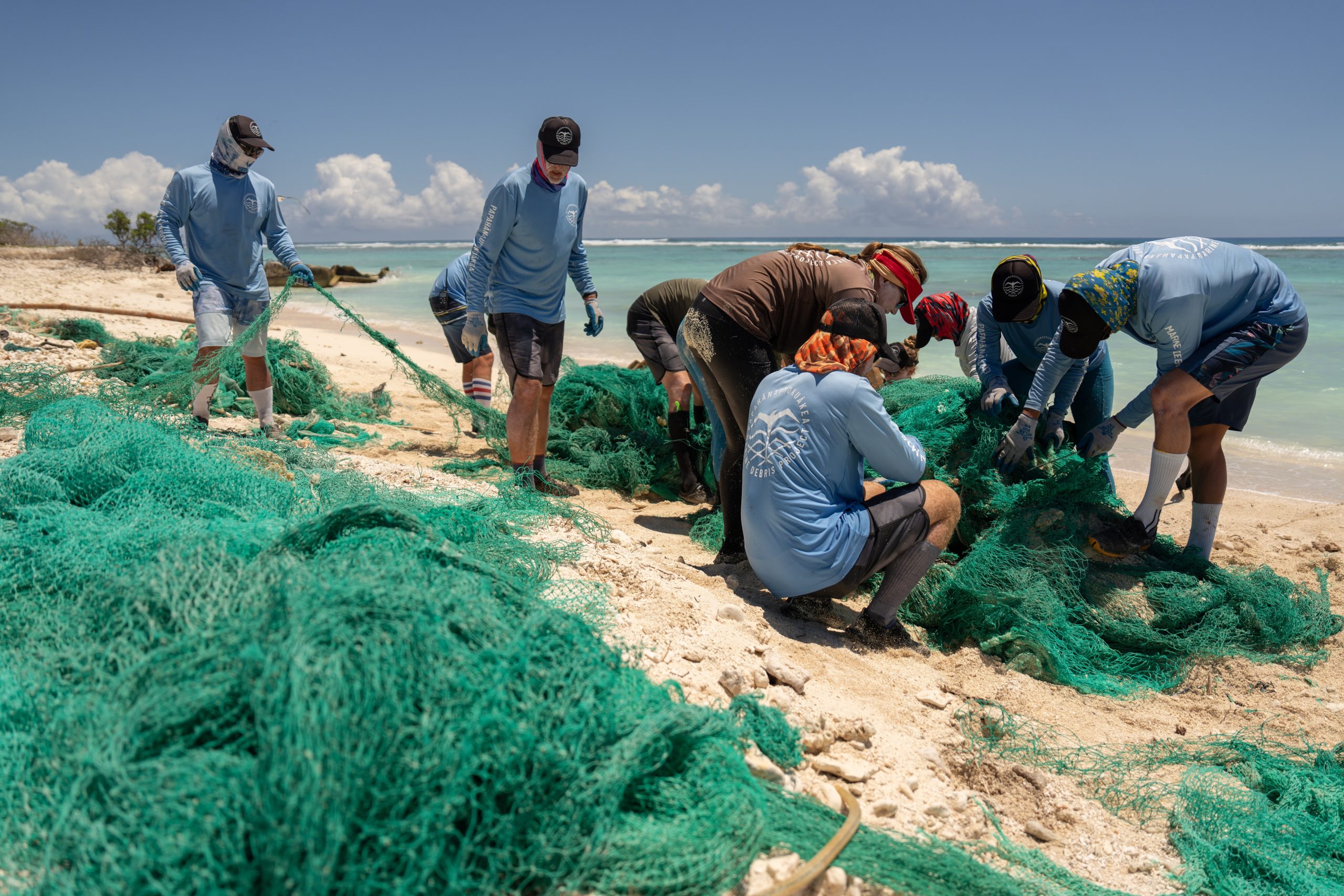
These changes are already impacting Hawai‘i and the Pacific Islands through rising sea levels, increasing ocean acidity, changing rainfall patterns, decreasing base flow in streams, changing wind and wave patterns, changing extremes, and changing habitats and species distribution.
The island of Kaua‘i is subject to a variety of coastal hazards, including marine inundation and terrestrial flooding, coastal erosion, hurricanes, and tsunamis. Coastal flooding, marine inundation, and coastal erosion in particular are predicted to be exacerbated by climate change related sea-level rise (SLR). Although the Kaua‘i General Plan (GP) does address coastal hazards such as coastal erosion, it does not specifically recognize climate change and SLR and its potential to exacerbate existing coastal hazards. The Kaua‘i County Planning Department requested this technical study with the update of the GP as a catalyst for beginning to address climate change and SLR.
Through the Kaua‘i Climate Change and Coastal Hazards Assessment (KC3HA), we focus in on the coastal hazards present on Kaua‘i (erosion, flooding, wave inundation, and wind), and the how these hazards are affected by climate change and SLR. A large part of the assessment focuses on SLR due to potential for changing erosion, flooding, and wave inundation hazards.
The goals of KC3HA are to:
1. Improve Kaua‘i’s community resilience and preparedness to coastal hazards and changing climate through the better understanding and utilization of coastal hazard information and planning tools.
2. Compile and summarize available science-based coastal and climate hazard information to assist in informing the Kaua‘i GP update.
We used the following methodology to achieve these goals:
1. Develop an inventory and assessment of planning information and data products supporting the integration of science-based coastal hazards information in land use planning through the Kaua‘i GP update.
2. Conduct a gap analysis that reviews and analyzes existing hazards data and planning information, its implications for Kaua‘i, and identifies gaps in planning information, guidance, and policy.
3. Map SLR projections for specific geographic areas on Kaua‘i, utilizing data from the National Oceanic and Atmospheric Administration’s (NOAA) Digital Coast SLR and Coastal Flooding Impacts Viewer, to demonstrate the utility of the data for planning purposes and to identify areas in need of further study and planning.
4. Identify resources and techniques to address the identified problems and gaps.
5. Develop planning and policy recommendations for the Kaua‘i GP update.
6. Conduct training and outreach with identified Kaua‘i County (County) department representatives to get input on the concepts, products, and recommendations of the study.
The body of this report discusses the above efforts, with detailed resources provided in the Appendices. Section I provides detailed background and scientific information on Kaua‘i’s coastal hazards and the latest science on climate change and SLR. Section II provides an assessment of SLR consequences for various sectors on Kaua‘i including critical infrastructure, economy, coastal habitats, public access, and residential communities. Section III details some scientific, policy, and planning resources available to address coastal hazards, including climate change related hazards. This includes discussion of the Inventory of Planning Information and Data Products contained in Appendix B, summary of the Gap Analysis for Implementation of Hazard Science into the Community,3 and discussion of the SLR Inundation Assessment and Needs for Select Areas (Needs Assessment) contained in Appendix C. Section IV details recommendations for the Kaua‘i GP update.
As shown in Appendix B, Inventory of Data and Planning Products, there are many existing hazards data sets and planning tools that can be utilized by planners for long range and current planning for coastal hazards and climate change on Kaua‘i. Of particular note is the NOAA SLR and Coastal Flooding Impacts Viewer, which was developed in partnership with University of Hawai‘i researchers and now available for use. The County has been provided with the SLR inundation geographic information systems (GIS) data associated with this tool for more detailed analysis. However, as discussed in Section III, there are gaps in planning information and guidance on how future accelerated SLR will affect coastal erosion rates and wave inundation. In addition, there is a gap in planning information, guidance, and policy to deal with an Aleutian Island earthquake event with tsunami impacts in Hawai‘i.
Appendix C the SLR Inundation Assessment and Needs for Select Areas (Needs Assessment) provides an important first step for examining SLR in the General Plan. It includes a set of SLR inundation maps for select coastal areas on the island using the NOAA/UH data described above. It also includes a written assessment for each area identifying potential SLR risks and vulnerabilities, as well as future planning and research needs for the area. The maps do not include every area of the island, and are intended to be examples of what planners may create utilizing the GIS data and the tools suggested in this report. These maps may be used in the general planning process as a preliminary screening tool for SLR inundation hazards for long range planners and the community to identify areas where planning efforts should be focused. Due to gaps in planning information, the maps do not include erosion or wave inundation data from future accelerated SLR. The Needs Assessment highlights the need to conduct more detailed hazard, risk, and vulnerability assessments in the future. The data in its current form is not intended to be used for parcel-level regulatory purposes.