Illinois-Indiana Sea Grant leads the effort to inform community planners about crucial ecosystem tipping points
By: Anjanette Riley, science writer for Illinois-Indiana Sea Grant
Land use planners have long known that building subdivisions, putting down roads, or converting prairies to farmland puts stress on local ecosystems. In fact, some changes, even small ones, can push ecosystems past a “tipping point,” triggering rapid and sometimes irreversible shifts in how they function. The challenge is knowing how to steer clear of these tipping points while still meeting community needs.
A new collaboration of Sea Grant outreach specialists and researchers from universities across the Great Lakes is giving watershed planning groups the information they need to avoid tipping points. At the heart of the Tipping Points and Indicators program is a web-based decision support tool.
“The tool introduces cutting-edge research to the planning process to help communities make sustainable land use decisions,” said Brian Miller, director Illinois-Indiana Sea Grant. “With this tool, planners can develop watershed-specific strategies to preserve natural resources and enhance local economies.”
The online tool reveals how close a watershed is to known tipping points, and it pinpoints land use practices driving that. Interactive maps tell planners how much of their region is dominated by urban and agricultural land, and where developed land is overstressing rivers and lakes. If too much land is dedicated to cities or farms—between about 10 and 25 percent of the watershed—contaminant levels and loss of biodiversity will be more than nearby waterways can take.
“Crossing tipping points is costly,” said Bryan Pijanowski, Purdue University natural resource scientist and a lead program researcher. “It takes much more effort to bring an ecosystem back—if possible at all—than it took to degrade it. Planners need to know the land use configurations that keep ecosystems in a safe zone, and this project uses the best science available to tell them what those are.
The tool simulates what a watershed will look like in the future if current land use practices continue or are ramped up. Planners can also test how developing more in one location or restoring habitats in another moves ecosystems closer to or further from tipping points. Together with recommended policies, ordinances, and outreach efforts, these features help planners prevent aquatic ecosystems from being degraded beyond repair.
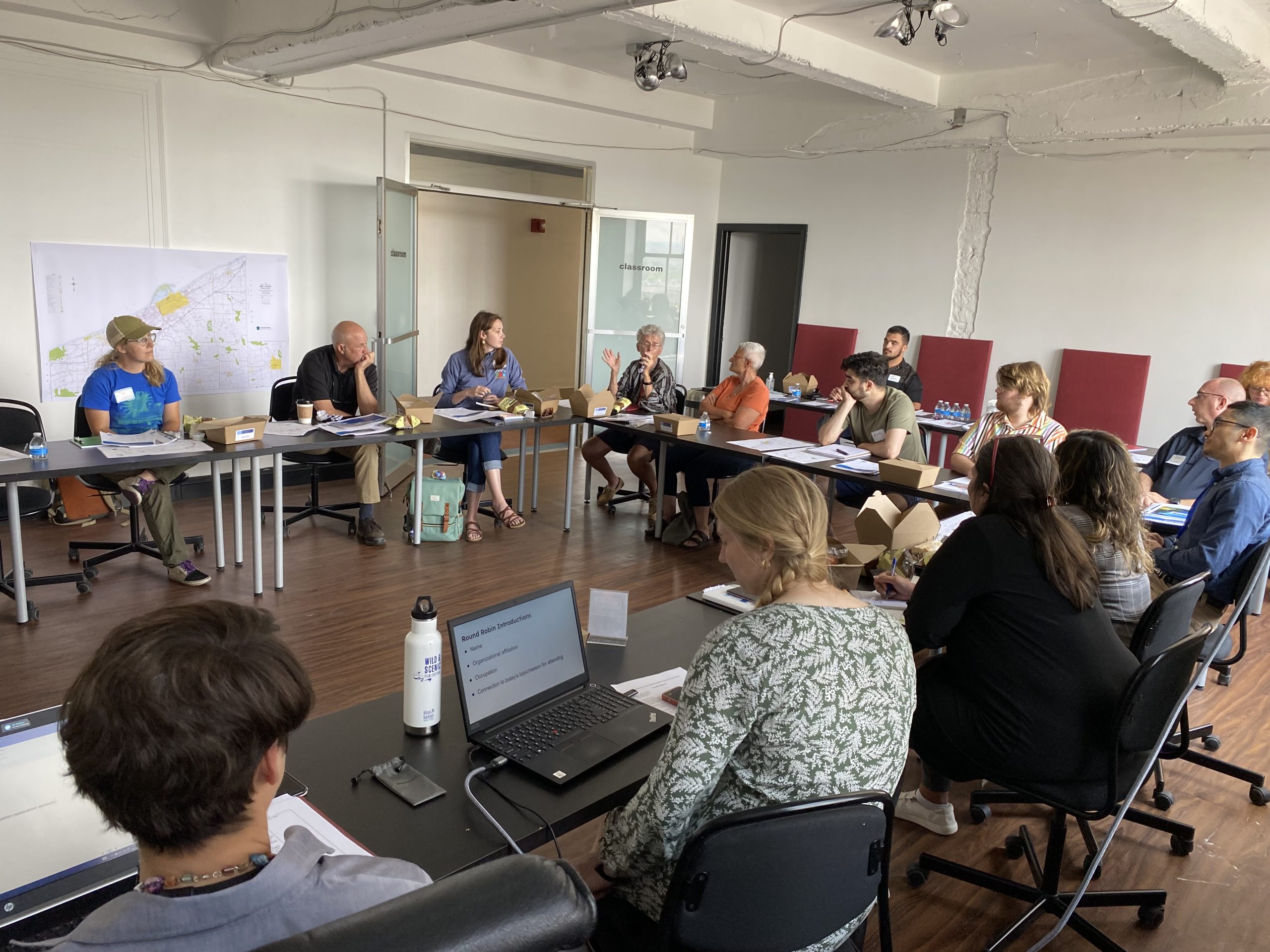
At a training workshop, Great Lakes Sea Grant specialists who will guide watershed planning groups through the tipping points tool, contributed ideas and information to improve the tool’s features and usability. Facilitators also learned how the tool can help communities identify their strongest natural resources and get diverse groups talking about habitats and development types they value most. They will start using the tool in spring 2014.
Tipping Points and Indicators is coordinated by Illinois-Indiana Sea Grant. Partners include Purdue University, University of Michigan, Michigan State University, University of Minnesota Duluth, University of Windsor, the National Oceanic and Atmospheric Association (NOAA), the Great Lakes Environmental Research Laboratory, the Cooperative Institute for Limnology and Ecosystem Research, the Great Lakes Restoration Initiative, and the Sea Grant Great Lakes Network. Funding for the project comes from the U.S. Environmental Protection Agency and NOAA.


