By: Rebecca Zeiber, N.H. Sea Grant
Researchers at the University of New Hampshire have identified specific sections of Seacoast roads — including Route 286 in Seabrook, N.H. and Gosling Road in Portsmouth, N.H. — as those most vulnerable to impacts from rising groundwater due to sea-level rise. New information published in Transportation Research Record, the Journal of the Transportation Research Board of the National Academies of Science, will serve as a valuable tool for transportation engineers and city planners assessing the vulnerability of road infrastructure and developing adaptation plans for coastal cities.
“Previous road vulnerability studies have looked at road surface flooding, but groundwater had not been addressed,” said Jayne Knott, Ph.D. candidate at UNH and lead author of the study. “We found that groundwater rises further inland than the surface water effects. In coastal N.H., the effects of surface water flooding on roads occur within a mile of the coast, and groundwater effects occur to more than twice that, all the way to Pease Tradeport,” she said.
The researchers examined five roads along the New Hampshire coast likely to be effected by rising groundwater due to sea level rise. One road included as a study site is an emergency evacuation route from the coast. The rising groundwater will manifest in pavement that breaks down faster and develops more cracks, potholes, etc.
“The worst enemy of pavement is water,” said Daniel. “If the soil and substrate under the pavement get wet, then the strength that we had counted on to carry the traffic isn’t there anymore. So the pavement develops ruts and cracks, allowing more water to get into the underlying layers which makes the situation worse,” she explained. Roads must then remain closed for longer periods of time to dry out, thus impacting commuters and tourists alike.
Original article
Alabama
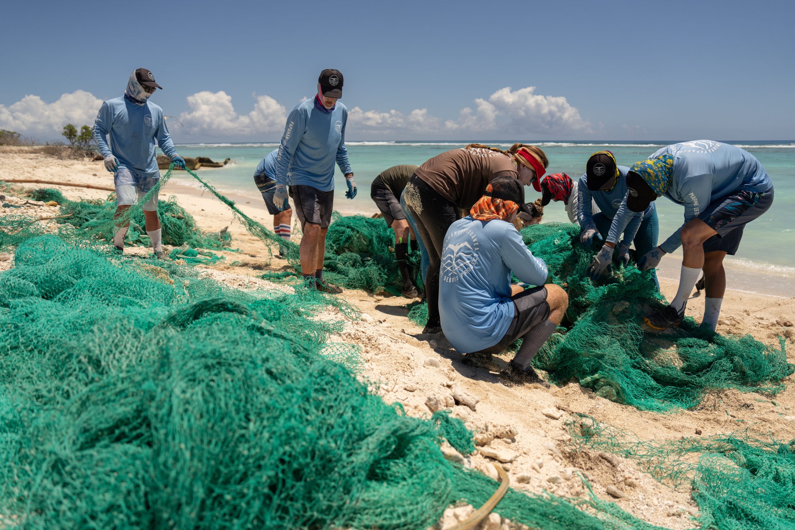
Biden-Harris administration invests $27 million to support community-driven marine debris solutions through Investing in America agenda
Today, the Department of Commerce and NOAA announced $27 million in funding for projects to prevent and remove marine debris in coastal and Great Lakes communities as part of President Biden’s Investing in America agenda, under the Bipartisan Infrastructure Law.
This funding will support innovative research and foster local coalitions to address urgent marine debris issues by using NOAA Sea Grant’s partnered approach to bring science together with communities for solutions that work.