New York Sea Grant provided important, timely, information about Sandy, before, during and after the storm
By Paul C. Focazio and Barbara A. Branca, New York Sea Grant
For seven days in the Fall 2012, Sandy pounded the Caribbean and U.S. East Coast with punishing rain, wind, and waves, at some points being named a hurricane and at others a superstorm or post-tropical cyclone. Along its entire East Coast path, Sandy’s force accounted for over $62 billion in economic losses and caused 140 deaths.
New York Sea Grant (NYSG) provided real-time information on the track, intensity and aftermath of Superstorm Sandy via social media when other outlets, including the Web servers hosting the data of Stony Brook University (SBU)’s Storm Surge Research Group, lost power.
New York Sea Grant’s award-winning year-long “science behind the storm” story series and related YouTube clips reached over 14,300 visitors on Facebook alone.
In the weeks leading up to the one year anniversary of Sandy’s late October 2012 landfall, NOAA and Sea Grant programs reflected on their response.
NYSG-funded researchers – including SBU storm surge expert Dr. Malcolm Bowman – have been called upon from before Sandy’s landfall to numerous times during the year since the storm to provide information and analysis An archive of these stories can be found at www.nyseagrant.org/superstormsandy and www.nyseagrant.org/hurricane.
Within a few short months after Superstorm Sandy’s storm surge and high winds inflicted extensive damage along New York’s coastlines, NYSG funded several new rapid response research projects.
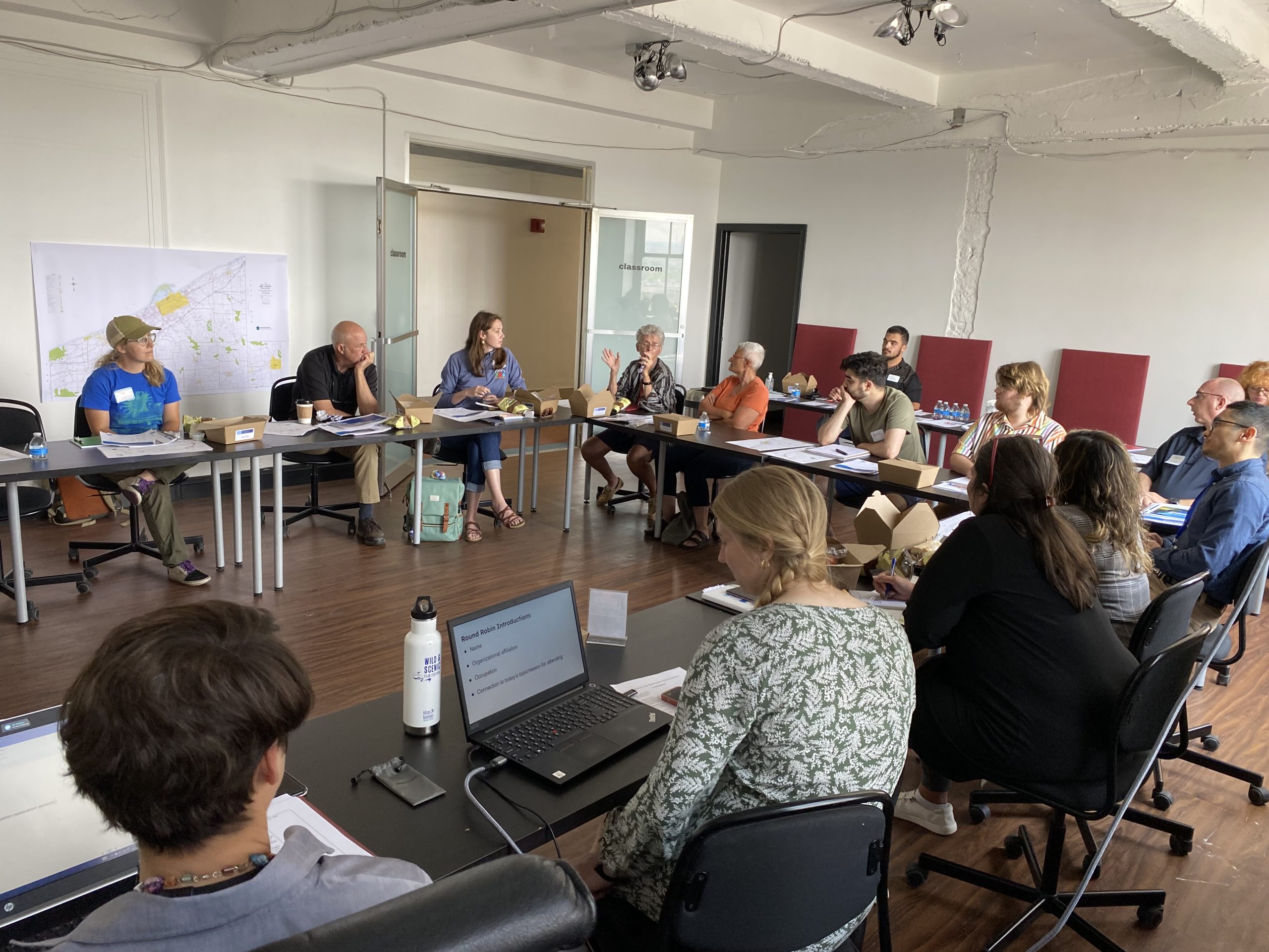
In early November 2013, NYSG’s Communications Manager Barbara A. Branca (pictured right, second to left in inset photo) visited with a few of the program’s funded researchers, led by City University of New York/Baruch College investigator Dr. Chester Zarnoch. The team was seeing if Long Island’s south shore estuary could handle the additional sewage from a Sandy-compromised treatment plant by increasing the ecosystem’s capacity to serve as a “nutrient sink.” – http://www.seagrant.sunysb.edu/articles/r/2382.
Sandy’s wrath caused three breaches across eastern Fire Island, but the one with greatest potential impact was at Old Inlet, a narrow part of the island with a long history of breaches that fronts a portion of the mainland containing 13,000 homes collectively valued at $10 billion.
Charlie Flagg, lead scientist of New York Sea Grant’s funded SBU SoMAS research team, explains why monitoring the breach is important, as its evolution will affect the tidal dynamics and the ecosystem of the Long Island’s eastern Great South Bay – here.
One of the materials well-referenced during this NYSG-funded study was Impacts of Barrier Island Breaches on Selected Biological Resources of Great South Bay, New York, a highly-regarded 2001 report written by the program’s coastal processes specialist Jay Tanski on the biological impacts of breaches, demonstrating both benefits and losses.
Tanski and NYSG’s Fisheries Specialist Antoniette Clemetson were also instrumental in assisting those in, respectively, the marina and recreational fisheries industries hit hardest by Sandy – more here.
Finally, earlier this month, NOAA, NSGO and Sea Grant programs in New Jersey, New York and Connecticut awarded funds totaling $1.4 million to support 10 projects to improve hazard warnings for Tri-State residents as part of its “Coastal Storm Awareness Program” For more, see http://www.seagrant.sunysb.edu/articles/r/2397 or www.nyseagrant.org/csap.


