Rhode Island is losing its salt marshes, and a new model shows where they’re likely to go
By Meredith Haas, Rhode Island Sea Grant
Over the past 200 years, Rhode Island has lost over 50 percent of its salt marshes due to coastal development, resulting in a loss of approximately 4,000 acres statewide. What remains of this vital ecosystem—which provides critical fisheries and wildlife habitat, as well as water quality and erosion control services—is further stressed by rising sea levels.
“Our salt marshes are drowning in place,” said Pam Rubinoff, Rhode Island Sea Grant extension specialist, explaining how sea level rise is already impacting salt marshes.
As the sea encroaches, salt marshes are either migrating landward or succumbing to rising waters because they run into barriers such as structures or elevation change. Rhode Island Sea Grant has been working with Rhode Island’s Coastal Resources Management Council (CRMC) and other state agencies, as well as municipalities, to develop the Sea Level Affecting Marshes Model (SLAMM) to identify existing marsh conditions and vulnerable areas, and predict possible future scenarios.
“Not every salt marsh is equal, and the SLAMM model distinguishes topography type and associated vulnerabilities,” said Rubinoff, who is one of the project leads, explaining how the model can be used to predict where marshes are likely to migrate.
The model incorporates data from salt marsh vegetation surveys and projections of one foot, three feet, and five feet of sea level rise. These variables help depict current conditions and future scenarios to help identify the most vulnerable areas to target for protection and restoration.
Current observations show a change in the vegetative landscape as marshes begin to move landward, and that sea level rise is already flooding and expanding pools, or salt pannes, on the marsh interior. The increased salinity provided by the expanding pannes is killing surrounding vegetation, which allows these pools to expand and further degrade vegetation.
According to James Boyd of CRMC, the economic value of salt marshes related to recreational and commercial fishing activities is estimated to be $6,417 per acre. These marshes, he said, provide the habitat necessary to support an $81 million commercial fishery and $208 million recreational fishery in Rhode Island.
Tidal marsh maps have been developed using SLAMM for all of Rhode Island’s 21 coastal communities to help decision-makers prepare and adapt to future coastal wetland conditions despite the inherent uncertainties associated with future rates of sea level rise. These maps are currently under review by CRMC to incorporate into planning efforts, such as the Sea Grant-supported Rhode Island Shoreline Change Special Area Management Plan (Beach SAMP).
“These maps project a loss of 1,895 acres of Rhode Island salt marsh with a 3-foot sea level rise,” said Boyd. “The maps produced from the SLAMM are helping to lay the groundwork for restoration efforts and new policies and management strategies that can help communities.”
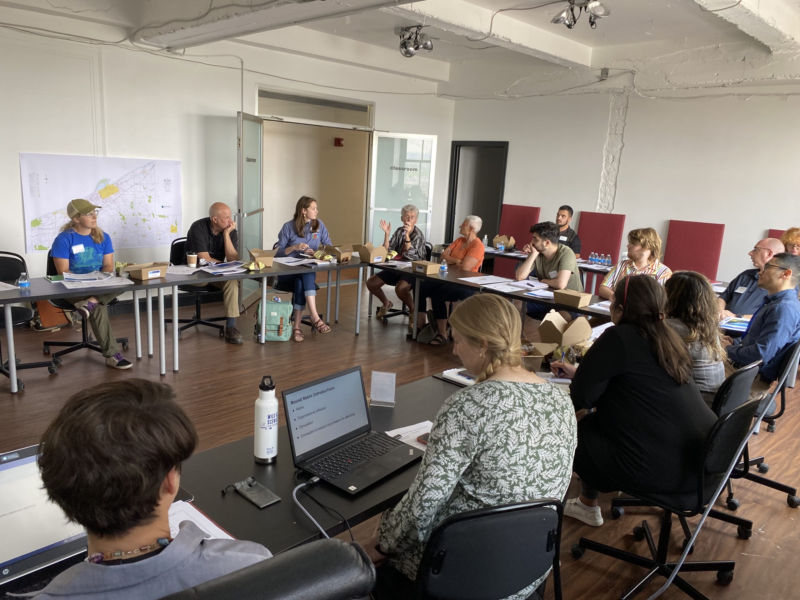
Rhode Island Sea Grant is supporting ongoing SLAMM workshops to provide research and policy updates, as well as instruction for municipal leaders and community members on how to interpret and use SLAMM maps.


