From ridge to reef, island life is all about residing in a coastal zone
By Marie Auyong, University of Guam Sea Grant
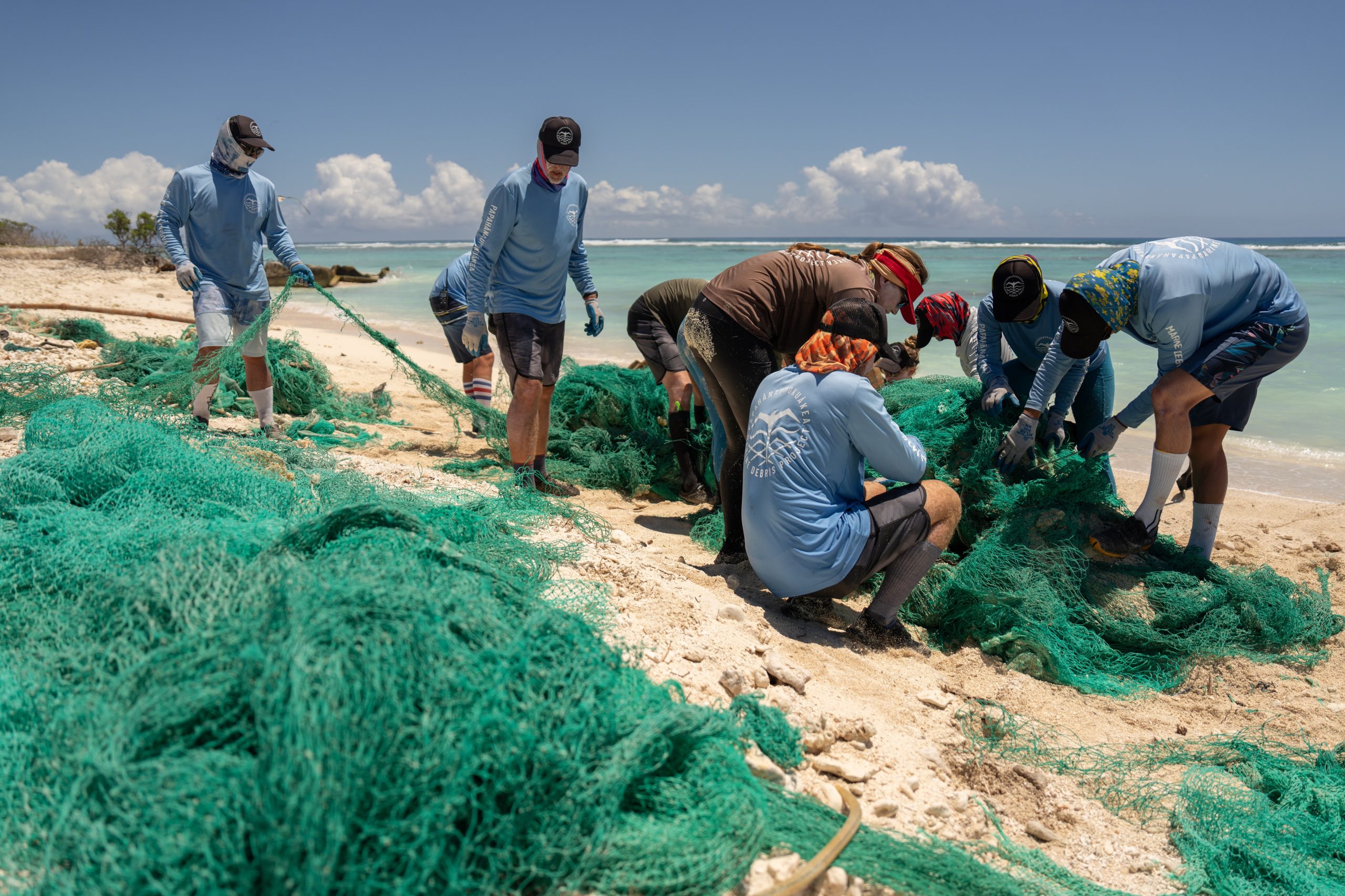
At 31 miles long and an average of eight miles wide, the entirety of Guam is a coastal zone. Geologically, the island has two distinct halves. The northern region is notable for a limestone aquifer that supplies 80% of the island’s drinking water. The southern side of the island, with its erosion-prone volcanic soils, houses 19 watersheds. And around the island, aquatic enthusiasts—from the traditional net throwing fisherman to visiting SCUBA divers—enjoy exploring fringing and barrier reefs.
Guam’s unique geographical features require its residents to make educated choices about how to develop and manage its natural resources. No matter where residents live, whether it’s near the tallest mountain at 1,332 feet or thirty feet away from the high tide mark, their actions directly impact what flows into surrounding waters. Watershed education’s key principle—that what happens at the mountain “ridge” affects the “reef” down below—is succinctly expressed in one phrase: “ridge to reef.”
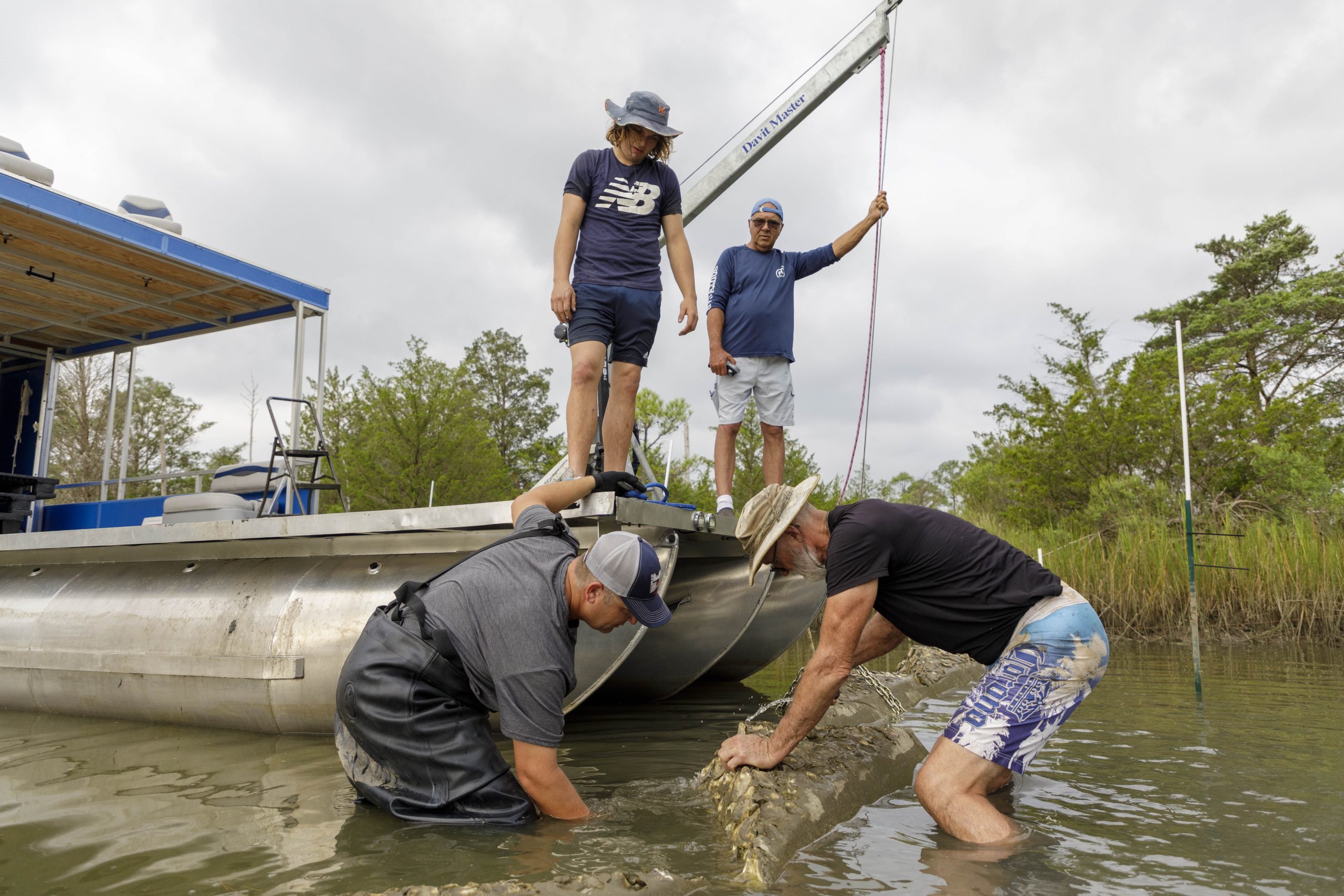
Pago Bay fronts the University of Guam (UOG) on its ocean side, so UOG Sea Grant (UOGSG) doesn’t have to venture far to engage marine sciences. Inspired by years of successful local government agency work and other university projects on watershed monitoring or restoration, UOG Sea Grant (UOGSG) started its own water quality data collection and management plan research for the Pago Bay-Pago watershed.
This project, called Builders of a Better Bay (BBB), creates student research opportunities to collect turbidity and water level data at rivers within the Pago watershed. In addition to exercising their legs in the field, students implement other methods of data collection such as key informant interviews with historical experts to learn about the area’s cultural significance.
Builders of a Better Bay will ultimately help assess the extent to which upland activities affect the bay. For now, human activities that contribute to watershed degradation and increased bay turbidity levels include development, off-roading, fires set to facilitate deer hunting, lack of deep rooted vegetation, and overall streambank destabilization.
Additionally, UOGSG strengthens island networks through its support of Palau Conservation Society (PCS), a nonprofit organization based in the Republic of Palau. Eight hundred miles southwest of Guam, the archipelago counts among its numerous natural wonders Ngaremeduu, Micronesia’s largest estuary and United Nations Biosphere Reserve.
From 2013 to 2015, UOGSG disbursed partial funding for a PCS Outreach Manager position to implement Biib’s Kids, a watershed education project. Biib’s Kids took PCS’ existing fifth grade watershed curriculum and expanded it for three more grade levels—both at the request of and with input from teachers. Reaching approximately 2,400 students over the course of three years, institutionalizing the curriculum in the national school system enables a broad audience reach.
The initial impacts of teaching youth about their watersheds are beginning to trickle up. Learning about the importance of watersheds is a gateway to larger national discussions about conservation, and Biib’s Kids and high school conservation youth leaders have been able to meet with local, state, and national legislators about resource management in Ngaremeduu.
As with the national Sea Grant network, UOGSG and PCS enjoy a relationship that facilitates information exchange. And in the far western reaches of the Pacific ocean basin, their ability to share strategies for effective community based education hinges on understanding the region’s unique cultures and ecosystems. Watershed education among these small islands thus descends not just from ridge to reef but across vast and diverse oceans.
Find University of Guam Sea Grant on Facebook.