Communities Tracking Coastal Change website helps public participate in science
Story by Stephanie Murphy, Woods Hole Sea Grant, and LuAnn Dahlman, NOAA Climate Program Office
As coastal communities continue to experience the impacts of increased storms, flooding and sea level rise, public participation in monitoring that change is more important than ever. And, when readily available technologies such as the cell phone in your pocket can serve as a data collection tool, there’s never been a better time for the public to participate in environmental monitoring – or even start a project of their own.
Those interested in monitoring shoreline change in their communities have a new resource to help them get started – a web-based inventory of citizen science efforts to track coastal change in the U.S. The site, Communities Tracking Coastal Change, was created by NOAA Climate Program Office’s Coastal Inundation Risk Team and Woods Hole Sea Grant.
People who are interested in tracking local coastal change can search for existing projects using a map, keywords or a faceted search. Those who want to start a new project can explore descriptions of “science platforms” that can help people make, collect, manage, and share coastal observations. The site also includes a form where additional projects may be submitted and added to the inventory.
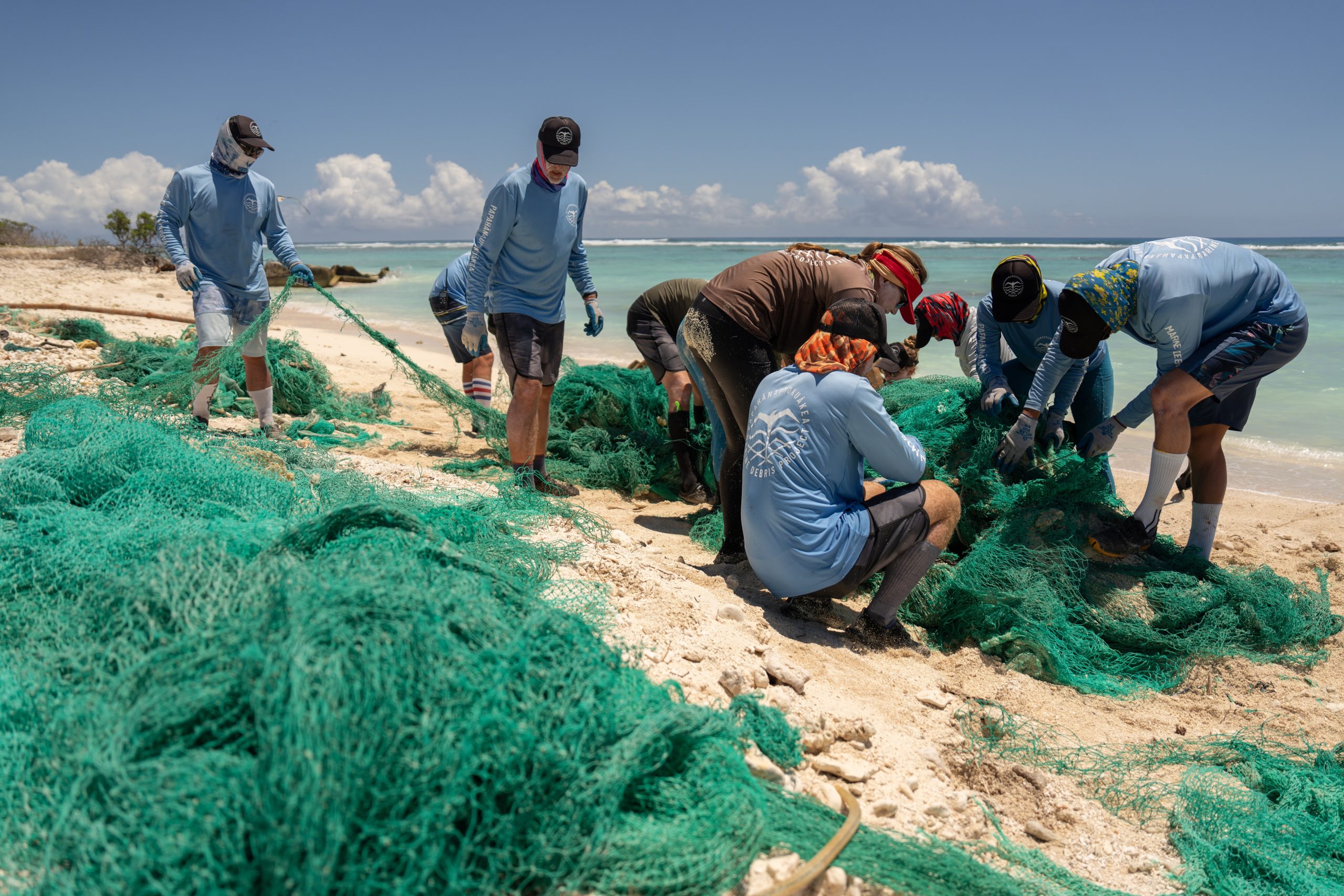
Many projects in the inventory use photographs to document their observations. Pictures showing high water levels during King Tides or time lapse videos using snapshots taken at designated photo stations raise awareness and help local residents envision coastal changes.
One platform used in flood-prone Norfolk, Virginia, encourages participants to gather data documenting exactly where flooding occurs: volunteers walk along the edge of flood waters, using the Sea Level Rise app to drop a GPS pin every five steps. The app exports the points as a comma separated values file that can be displayed as a map layer in geospatial software.
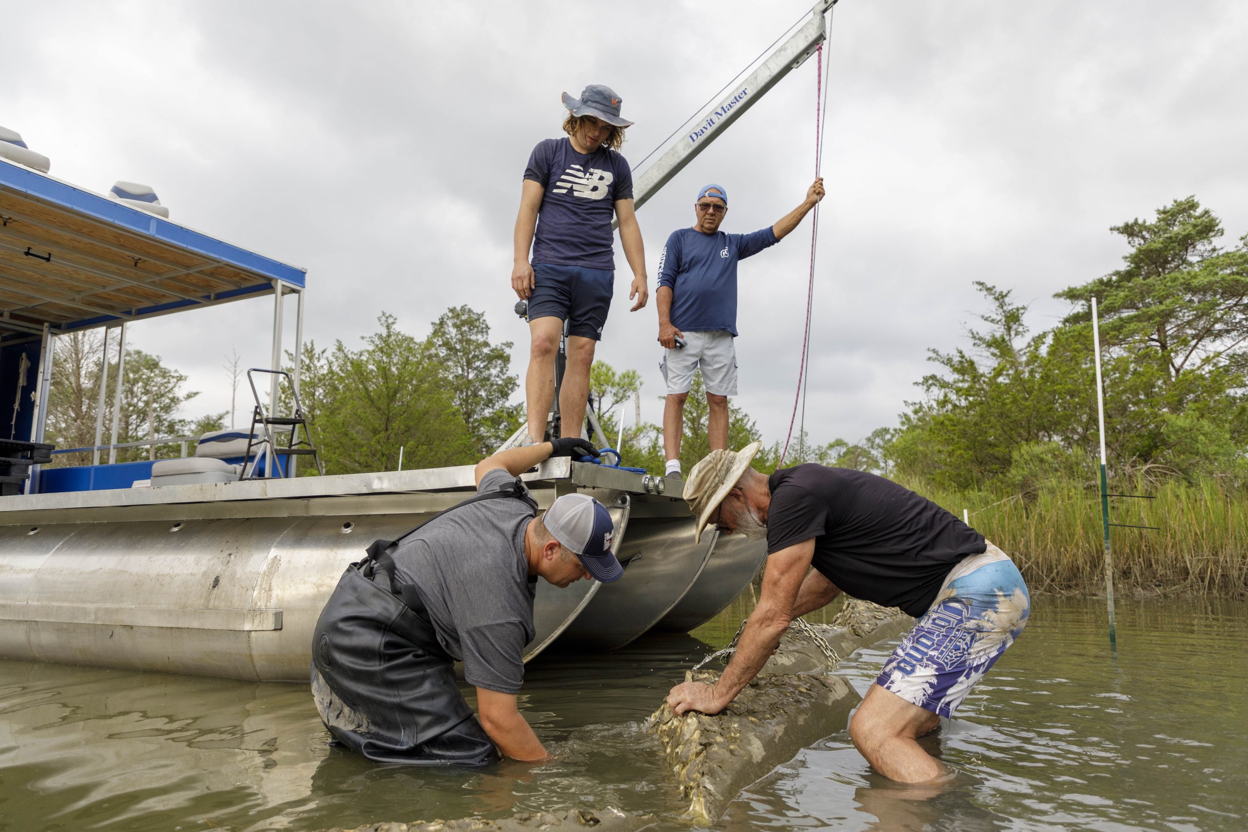
Beyond cell phones used to collect photos or GPS points, other tools used by monitoring projects include basic survey equipment, signage, drones, and water level loggers.
As described in the NOAA Coastal Inundation at Climate Timescales Whitepaper, citizen science is one strategy to encourage local residents to contribute data, images, and maps to assist city planners, emergency management personnel, and flood modelers in decision making and adaptation strategies. The inventory may facilitate contributions to this effort. It was inspired and supported by work conducted in a National Sea Grant-funded project Engaging Citizens to Monitor and Document Shoreline Flooding and Erosion in the Northeast.
April is Citizen Science Month! Citizen Science/Community Science encourages community members to help answer important research questions by collecting data. Learn about Sea Grant’s Community Science Network and their nationwide projects here.