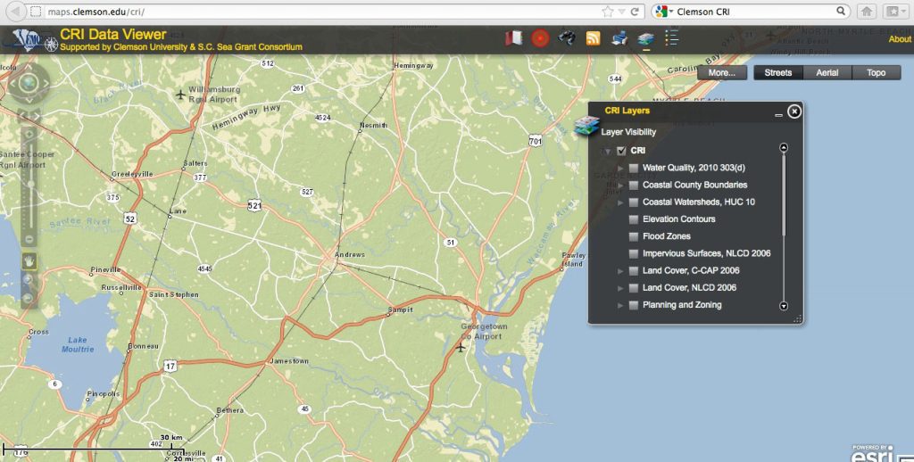
Coastal Ocean Hypoxia Model
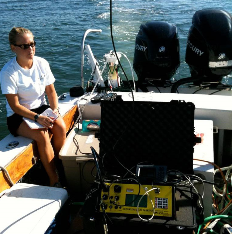
A large percentage of South Carolina’s economy is driven by the popularity of beaches as tourist destinations. Hypoxic (low-oxygen) conditions have been documented in the nearshore coastal waters of Long Bay, South Carolina, during summer months over the past several years. To maintain a healthy environment for recreation it is necessary to assess the impacts of land use on groundwater discharge to the area. Researchers measured radon activities of shallow beachface groundwater and nearshore bottom waters to estimate mixing rates and submarine groundwater discharge in Long Bay. They successfully developed a mixing model based on these measurements, which helped determine that natural phenomena such as limited mixing and submarine groundwater discharge (both previously overlooked) can significantly influence nearshore water quality and lead to hypoxic conditions. This model can be applied to other types of marine environments to help determine the causes of hypoxia, and as such could be a valuable tool in maintaining coastal water quality, especially in highly developed (urban) areas.
Coastal Ocean Hypoxia Model Read More>