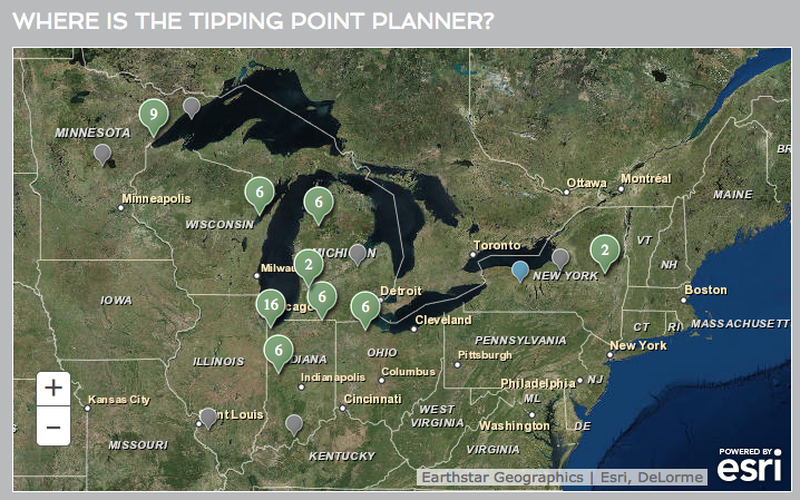
Using participatory modeling and citizen science to help blue crab fishermen in South Carolina identify ways to adapt to a changing climate
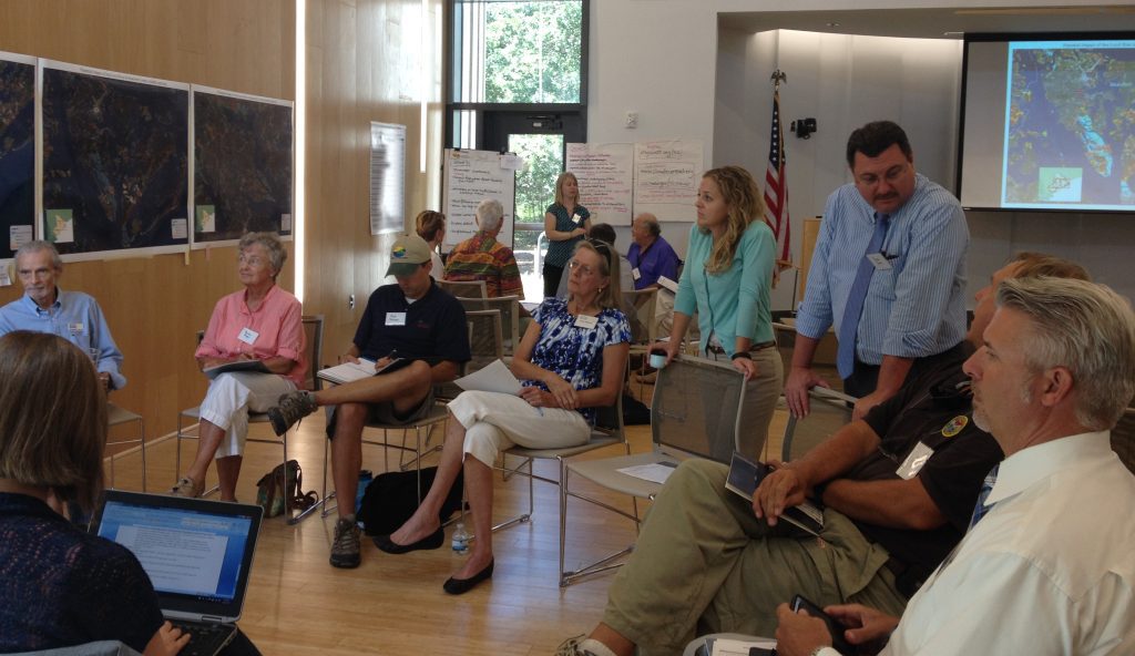
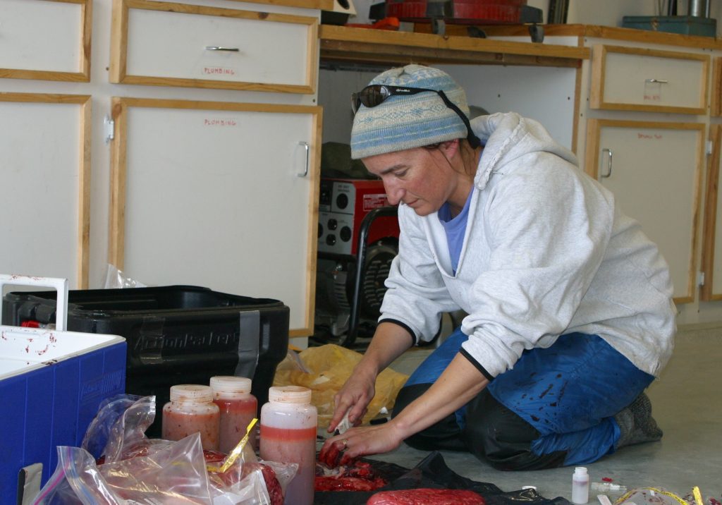
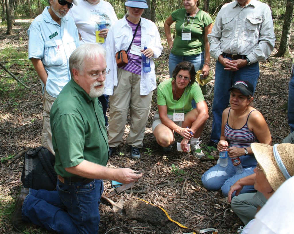
South Carolina Sea Grant The S.C. Sea Grant Consortium, in partnership with the Social and Environmental Research Institute, is working with blue crab fishermen in […]