California Sea Grant
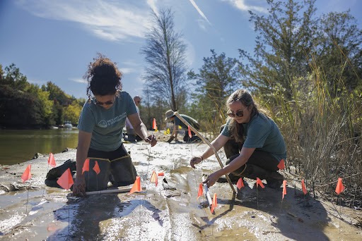
The Santa Barbara Area Coastal Ecosystem Vulnerability Assessment for Local Communities (SBA CEVALC) is aimed at assisting the Cities of Santa Barbara, Carpinteria, and Goleta and the County of Santa Barbara in planning for adaptation to climate change. Three of the state’s leading ecological and climatological research programs including: the UCSB Coastal Long-Term Ecological Research Project, the Scripps Institution of Oceanography and USGS, are accomplishing the project in close collaboration with the three cities and County. Community input is integral to the project with staff from relevant city/county departments participating through workshops and review. CASG is guiding development of the SBA CEVALC and, as the project progresses, will work with community partners to distribute results locally and ensure wide distribution outside the Santa Barbara area.
While some coastal states and cities or counties are developing climate change vulnerability assessments, most focus on impacts to physical and built environments; they do not provide a comprehensive assessment of impacts to ecological resources. Incorporating ecosystems in local climate vulnerability planning is important since the majority of land-use planning decisions are made at the local level. Local governments regulate general land use and development activity for the majority of the land in California, where over half the land is owned privately. Local planning that does not consider ecosystems can result in fragmentation and degradation of ecosystem services. The SBA CEVALC is an important step toward ecosystem-based adaptation planning at the local level.
This work is bringing together the best available climate and ecological research resources to provide a sophisticated coastal ecosystem vulnerability assessment, aimed at informing local land use decisions. The team has an unusual breadth of expertise that spans from upland watersheds to the shore zones. Beaches constitute the majority of the coastline in the Santa Barbara area and, along with wetlands and watersheds, are a critical component to the vulnerability assessment. Key historical climate patterns and possible climatic changes and other impacts to the Santa Barbara area are being evaluated. Downscaled climate data, to monthly and daily time scales, is being employed. Extreme events are being considered since they are a particularly important driver of physical and biological elements in California coastal ecosystems. The project aims to include hydrologic models to simulate effects of drought and floods, as well as coastal storm and physical impact models.