Maryland Sea Grant
With support and training from Texas Sea Grant, Maryland Sea Grant Extension employs the weTable tool to facilitate decision-making processes in a range of communities. This easy-to-use tool projects images, such as maps, onto walls, tables, and other flat surfaces. This allows users to interact with an array of data visualization and planning applications with no training required.
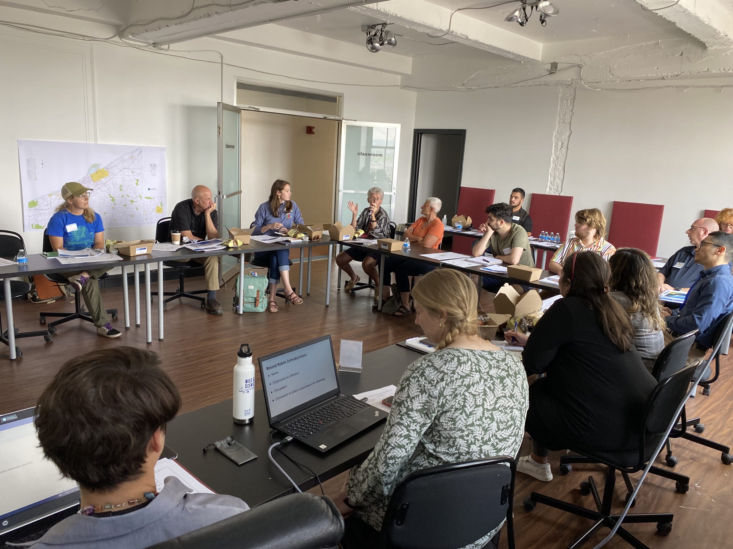
Maryland Sea Grant Extension experts are available to help local communities to use weTables in planning efforts surrounding land use decisions, sea level rise adaptation, and watershed management. Maryland Sea Grant Extension also works with community partners to apply weTables as outreach tools, collecting data and input during public meetings and workshops.
Among other activities, Maryland Sea Grant Extension has incorporated weTables in a regional workshop on the remote sensing of harmful algal blooms and in the development of a Nutrient Loading Model for the Delmarva Peninsula.


