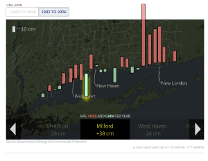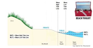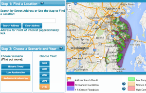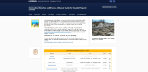
Climate and Hazard Adaptation
Connecticut Sea Grant launches website to help coastal homeowners
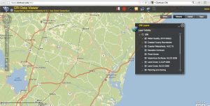
The website serves as a decision support tool. Connecticut Sea Grant announces a new website intended to assist coastal Connecticut beach property owners and beach